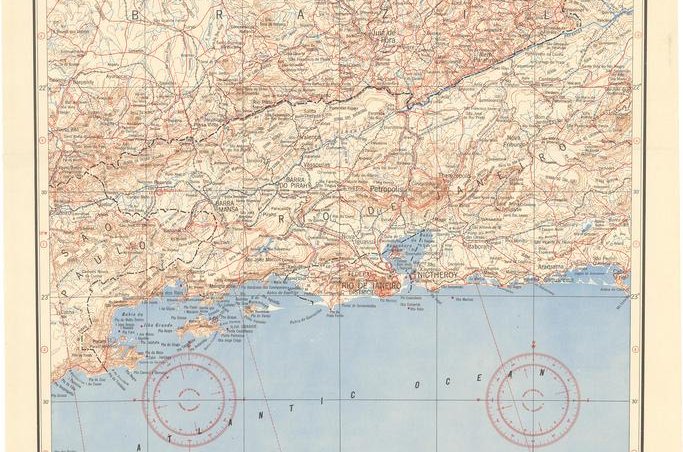
A paper map of Rio de Janeiro by the National Geospatial Intelligence Agency. Raytheon has been awarded contracts by the agency. Photo courtesy of the NGA
Nov. 7 (UPI) -- Raytheon has been awarded two contracts worth as much as $600 million from the National Geospatial Intelligence Agency to develop data automation, analytics and artificial intelligence capabilities for the NGA Janus program.
The contracts go toward the Elevation Content and Precise Imagery programs, which are part of NGA's Janus initiative to give greater interchangeability between agency partners with access to NGA data and imagery.
"Our advanced analytics, automation and AI will keep NGA capabilities on the cutting edge," Raytheon IIS president Dave Wajsgras said in a statement.
"The solutions provided by NGA to the broader user community will offer higher quality and faster delivery of mission critical information," Wajsgras said.
The program will follow the NGA's Automation, Augmentation and Artificial Intelligence strategy of streamlining collection and dissemination of intelligence in easily networked databases.
This marks another series of contracts between the NGA and Raytheon, which was recently awarded several contracts under the agency's BIG Broad Agency Announcement, or BIG BAA, initiative.
The National Geospatial Intelligence Agency provides the Department of Defense and civilian leaders with satellite imagery, surveillance capabilities and analysis of geospatial intelligence gathered from a variety of sources on the ground, in the air and space-based. They are meant to provide up to the minute information for military and disaster relief operations as well as more routine functions.
It also monitors potential cyber threats and helps maintain and secure many U.S. satellite systems such as GPS networks. The agency also performs demographic and geographical research on topics that include the amount of cropland in cultivation, deforestation, climate trends and other areas that would provide information on important U.S. interests.
Janus is meant to provide greater analytical and collation of geospatial intelligence for easy distribution to authorized recipients


